
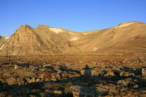
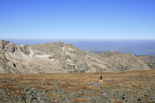
Shortly after VERY carefully crossing an ice covered bridge, we were greeted by the first rays of sunshine. Once we passed treeline, we got our first glimpse of Shoshoni:
Soon we were climbing the switchbacks to Pawnee Pass. This was a far easier hike than when we did it in early July, as the trail was snow free all the way to the top.
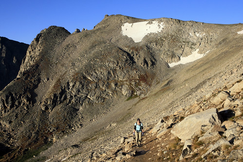
Once at the pass, we climbed an unnamed high point and headed south towards Shoshoni. After some up and down scrambling, it became a straight forward tundra walk to the summit.
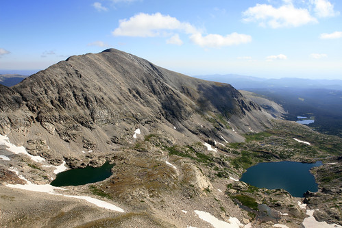
From the summit of Shoshoni, we could see (from left to right) Navajo Peak, Dicker's Peck with the Navajo Snowfield below it, Apache Peak, and Isabelle Glacier below it. Most of the the route we took last week was visible, and it was cool to see everything from this perspective.
After a short rest, we headed back across the tundra towards Pawnee Pass.
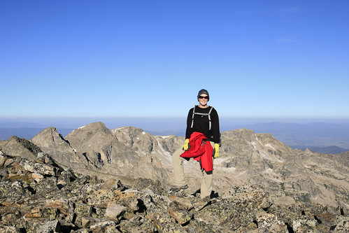
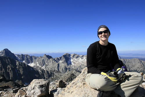
Once at the pass, we made short work of Pawnee Peak, and descended towards the saddle between Pawnee and Mount Toll. After a fun scramble to the summit, we had a snack and soaked up the views. To the northeast we could see Mt. Audubon with Blue Lake to the far right:
To complete the hike, we would have to bushwhack down to Blue Lake where we could pick up the trail to Mitchell Lake. This was the only part of the hike that would require any real route finding.
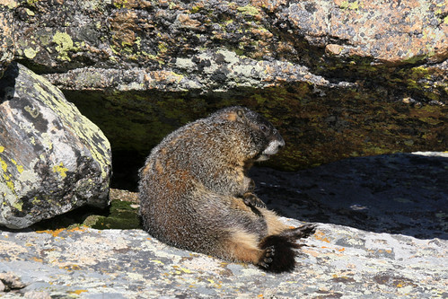
After hanging out a bit, we began to make our way down. There hadn't been any marmots on this hike, though we had seen a few distant ptarmigan on the way up Pawnee Peak. I saw this marmot chilling near Blue Lake a couple of days earlier. I think many of the marmots are already hibernating, as I've seen fewer and fewer lately.
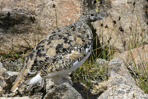
We did see one more ptarmigan on the way down to Blue Lake. This time, he was very close!!
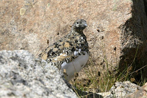
He was standing completely still, doing his best I am hiding in plain-sight pose... Luckily I wasn't a hungry predator, or he would have been lunch.
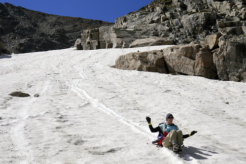
Further down we encountered some sizable snowfields. Instead of trying to avoid them, we decided to attempt a glissade. While it was definitely faster than hiking down, the snow was very rough and made for a less than thrilling descent.
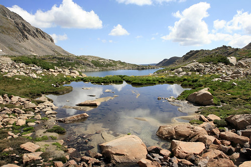
Once past the snowfields, we crossed a wet area above Blue Lake and passed this small tarn:
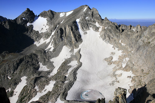
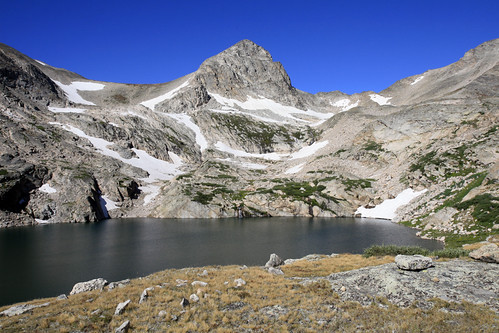
After skirting the cliffs above the lake, we found some cairns leading us to the trail. Mount Toll dominates the view from the east side of Blue Lake:
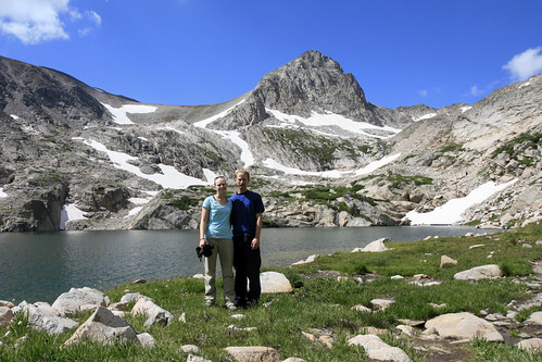
Another view of Mt. Toll and Blue Lake:
It was a quick hike back to the Mitchell Lake trailhead, followed by a half mile of road walking to our car at Long Lake. No push-ups this time, as Laura and I both agreed that the degree of difficulty didn't warrant them. Once back in Boulder, we realized this might be our last snow-free, high-country hike of the year. Next weekend we would be in Montana for Matt's wedding (Laura's brother), followed by a side trip to Yellowstone for some big beast viewing!!!
No comments:
Post a Comment